Utah Disaster Restoration
Making Utah Homes Great Again!
How to determine if your home is in danger of a flood risk
- By Jon Welch
- •
- 10 Apr, 2013
- •
Is your home in danger of a flood risk
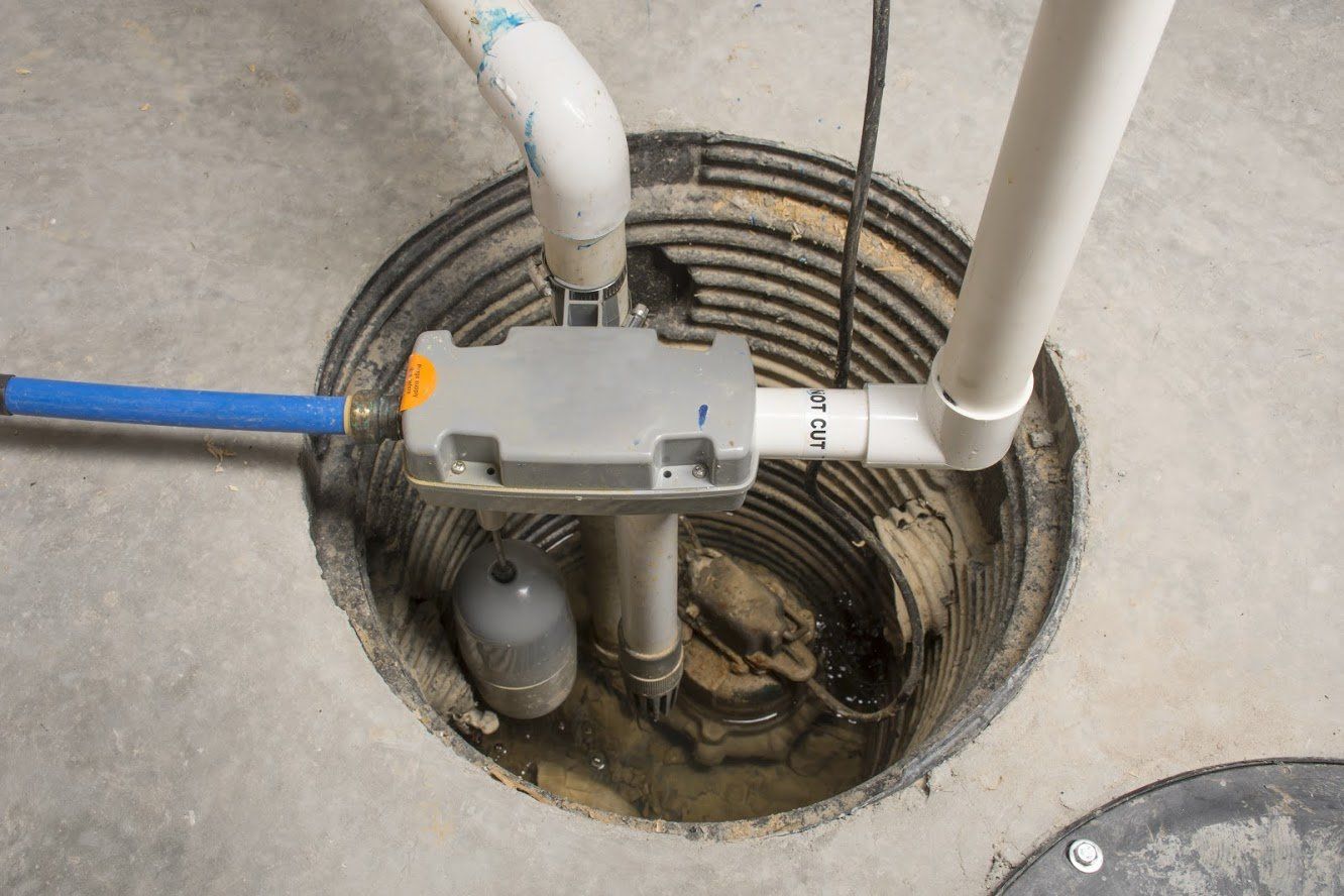
Do you live close to a river? Is your home located at the bottom of a hill? Do you have suspicions that the home you want to buy could get soggy during a storm? Those are great questions to think about before you are bailing water out of your basement.
So how to you know if your home is at risk of flooding?
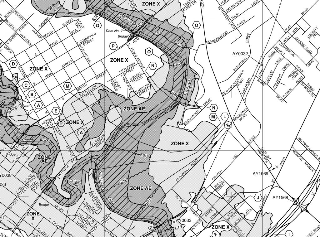
Finding out isn’t particularly difficult. FEMA maintains a database of flood maps. You can simply input your address to see how close to a flood zone you are (or if, perhaps, you’re smack-dab in the middle of one).
The most basic type of flood map that you’ll see is what people usually call a “100-year flood map.” The areas marked as 100-year flood zones are areas that have at least a one percent chance of experiencing a flood each year. The estimates are based on topography, proximity to bodies of water and drainage systems.
Of course, living in a 100-year flood zone does not mean your house is guaranteed to experience a flood every 100 years (though there is about a 62% chance of that). Neither does living outside such a zone mean that your house is not at risk of flood.
If you want to take the time to learn more about flood maps — known as Flood Insurance Rate Maps (FIRMs) — FEMA has an incredible tutorial that can take you from knowing nothing about flood maps to being somewhat of an expert in less than a half hour. It’s definitely worth your while if you’re interested in understanding your risks and protecting your home.